Menu
AI Generation
Image Generator
Text to image
Image to image
Mix pose
Create tile
Re-imagine
Image Editor
Upscale
Remove background
Replace background
Replace sky
Replace object
Remove text
Remove watermark
Face Editor
Merge face
Restore face
All Images
Abstract
Animals
Art
Background
Fashion
Architecture
Business
Education
Food
Holidays
Illustration
Industrial
Interior
Nature
Occupation
People
Science
Seasons
Symbols
Sport
Vintage
Wallpapers
Weather
Start to Earn
Affiliate Program
0
AI Generation
Back to menu
All Images
Back to menu
Abstract
Animals
Art
Background
Fashion
Architecture
Business
Education
Food
Holidays
Illustration
Industrial
Interior
Nature
Occupation
People
Science
Seasons
Symbols
Sport
Vintage
Wallpapers
Weather
View All Images
Newsroom
Price
Generate Image
Home
—
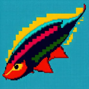
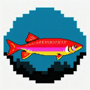
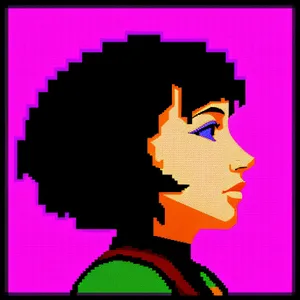
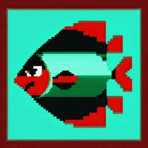
Borders images | Page 6
Borders Pictures, Images and Stock photos | Page 6
Royalty-free "borders" stock photos, vectors, and illustrations
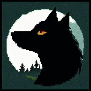
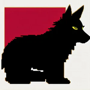
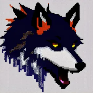
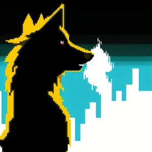
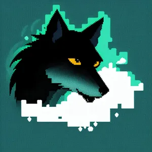
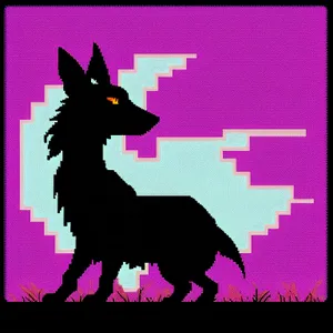
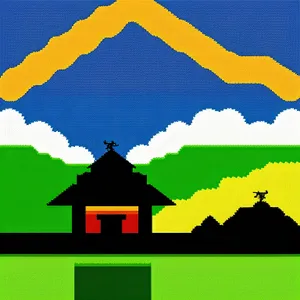
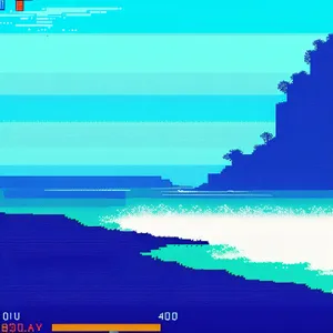
borders
Orientation:
All
AI Generated:
All


